Affiliate disclosure: This guide may contain affiliate links. If you book through them, we may earn a small commission at no extra cost to you. Learn more.
Seoul looks surprisingly compact when you first open a map. Gyeongbokgung Palace appears close to Myeongdong, Gangnam seems only a short ride from Jamsil, and N Seoul Tower sits neatly in the middle of the city.
Then you arrive and discover the missing details: hills, wide roads, long subway transfers, and stations with enough exits to start their own neighborhood.
The easiest way to understand Seoul is not to memorize the entire subway network. Instead, divide the city into a few travel zones and explore places that naturally fit together.
This Seoul tourist map guide covers the main sightseeing areas, the most useful subway stations, the best map apps, and practical ways to build an itinerary without spending half your trip underground.
Table of contents
Seoul Tourist Map at a Glance
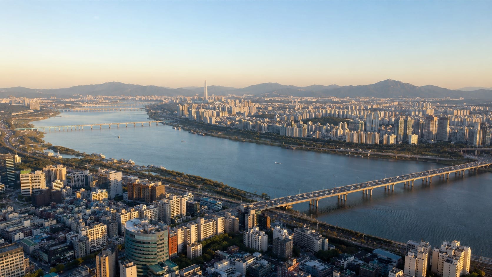
The Han River is the simplest reference point for understanding Seoul.
Most palaces, traditional neighborhoods, historic markets, and older shopping districts are north of the river. Gangnam, COEX, and Jamsil are south of it. Hongdae sits in western Seoul, while Seongsu and Jamsil are farther east.
For most first-time trips, Seoul can be divided into eight main travel zones.
| Travel zone | Main attractions | Useful stations |
|---|---|---|
| Historic Seoul | Gyeongbokgung, Bukchon, Insadong, Ikseon-dong | Gyeongbokgung, Anguk, Jongno 3-ga |
| Central Seoul | Myeongdong, Namdaemun, City Hall, N Seoul Tower | Myeongdong, Hoehyeon, City Hall |
| Dongdaemun and Euljiro | DDP, Gwangjang Market, Cheonggyecheon | Dongdaemun History & Culture Park, Euljiro 4-ga |
| Western Seoul | Hongdae, Yeonnam-dong, Mangwon | Hongik University, Hapjeong, Mangwon |
| Yongsan | Itaewon, Hannam-dong, national museums | Itaewon, Hangangjin, Ichon |
| Seongsu | Seongsu cafes, pop-ups, Seoul Forest | Seongsu, Ttukseom, Seoul Forest |
| Gangnam | Gangnam Station, Apgujeong, COEX | Gangnam, Apgujeong Rodeo, Samseong |
| Jamsil | Lotte World, Seokchon Lake, Olympic Park | Jamsil, Olympic Park |
Two connected zones are usually enough for one day. Trying to cover four may leave you with an impressive knowledge of subway platforms and fewer memories of Seoul itself.
Where to Download the Official Seoul Tourist Map
The Seoul Metropolitan Government provides an official English-language Seoul tourist map that can be downloaded as a PDF.
It gives visitors a broad view of the city, including major attractions, subway connections, tourist information centers, and enlarged maps of popular districts.
The official map is useful for:
- Understanding where Seoul’s main neighborhoods are
- Seeing which attractions are close enough to combine
- Saving an offline city overview on your phone
- Planning routes before leaving your accommodation
- Finding smaller museums, markets, and parks
A PDF map works best for orientation. It is not a replacement for live navigation because it cannot show current walking routes, temporary closures, bus arrival times, or the correct subway exit.
Use the official map to understand the city, then switch to a local map app when you start moving.
Best Map Apps for Seoul
Naver Map
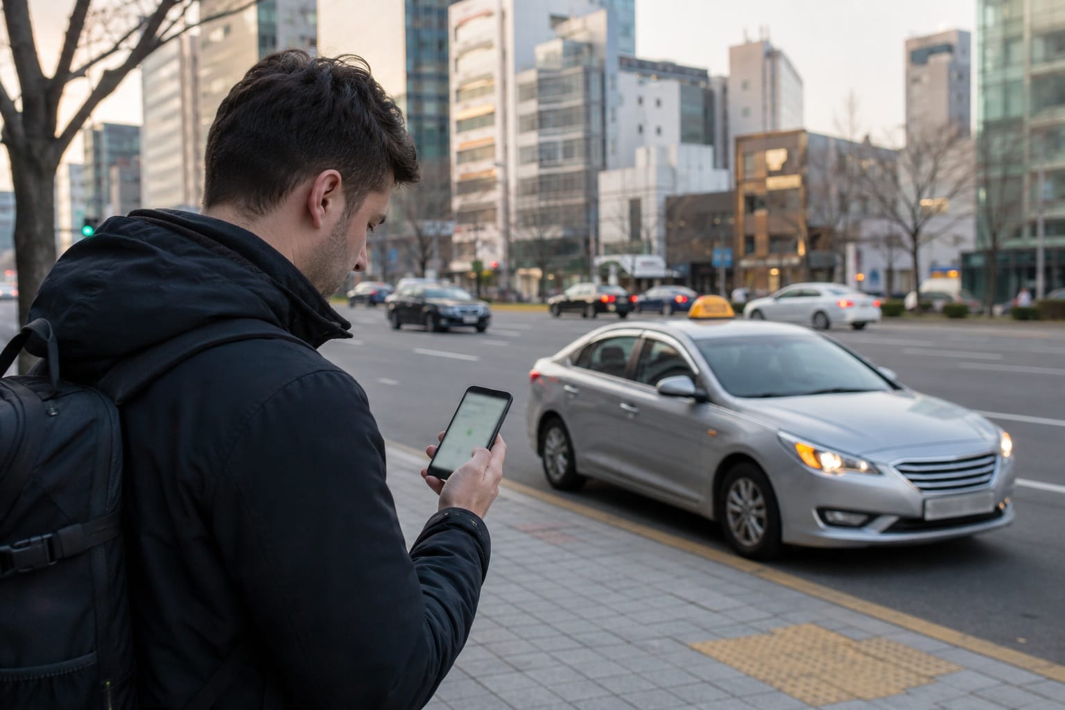
Naver Map is one of the most practical navigation apps for international visitors in Korea.
It provides:
- Subway and bus routes
- Walking directions
- Subway exit numbers
- Live public transportation information
- Local restaurant and cafe listings
- Estimated travel times
The English interface is useful, although some smaller businesses may still appear under Korean names.
When an English search does not work, copy the Korean place name from the business website, Instagram page, or Google listing and paste it into Naver Map.
KakaoMap
KakaoMap provides similar walking, public transportation, driving, and cycling routes.
Some travelers prefer its layout, while others keep it as a backup when a newly opened restaurant or temporary pop-up is difficult to locate on Naver Map.
You do not need to study both apps before your trip. Install one as your main map and keep the other available for stubborn addresses.
Digital Seoul Tour Map
The city’s digital Seoul Tour Map is designed more for travel discovery than step-by-step navigation.
It can help you browse attractions, see photographs, and explore official walking-tour routes. It is a useful planning tool when you know which part of Seoul you want to visit but have not decided what to do there.
Google Maps
Google Maps is useful for saving attractions, organizing lists, reading reviews, and checking the general location of a neighborhood.
Its Korea navigation features have been improving, but Naver Map or KakaoMap remains the safer choice for detailed walking directions, subway exits, and smaller local businesses.
Do not wait until you are standing outside the airport to arrange mobile data. Live route searches and bus information require an internet connection, so compare your options in our Best eSIM for Korea Guide or activate a Korea eSIM before arrival.
How to Read the Seoul Subway Map
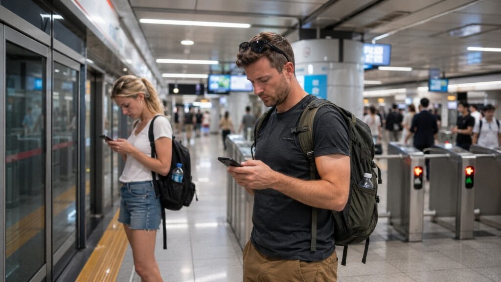
The full Seoul Metropolitan Subway map can look overwhelming because it covers not only Seoul but also Incheon and large parts of Gyeonggi Province.
Most travelers use only a small part of the network.
Each subway line has a number, name, and color. Stations also have individual numbers, which can help when two station names look or sound similar.
Station signs and train announcements usually include English. Trains generally operate from early morning until around midnight, but the exact first and last train times vary by station, direction, and day.
The lines visitors use most often are:
Line 2
Line 2 forms a large loop and connects several major travel districts, including:
- Hongdae
- City Hall
- Euljiro
- Dongdaemun
- Seongsu
- Jamsil
- COEX
- Gangnam
It is one of the most useful lines for sightseeing.
Line 3
Line 3 is helpful for:
- Gyeongbokgung
- Anguk
- Jongno
- Sinsa
- Express Bus Terminal
It is especially important for the palace district and parts of Gangnam.
Line 4
Line 4 connects:
- Seoul Station
- Hoehyeon
- Myeongdong
- Dongdaemun
It is one of the simplest lines for central Seoul sightseeing.
Lines 5 and 6
Line 5 is useful for Gwanghwamun, Jongno 3-ga, Dongdaemun, Yeouido, and parts of eastern Seoul.
Line 6 is the main line for Itaewon, Noksapyeong, Hangangjin, and Mangwon.
Line 9
Line 9 connects western Seoul with Yeouido, Express Bus Terminal, Bongeunsa, and Olympic Park.
Some Line 9 trains operate as express services. Check whether your station is an express stop before boarding.
Airport Railroad
The Airport Railroad, commonly called AREX, connects Incheon International Airport with Seoul Station and Hongik University Station.
For fares, transport cards, transfers, and a more detailed explanation of the network, read our Seoul Subway Guide.
Zone 1: Historic Seoul
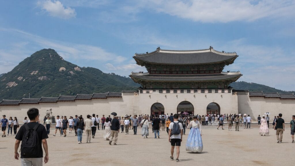
Historic Seoul is the best place to begin if this is your first visit.
This zone includes:
- Gyeongbokgung Palace
- Gwanghwamun Square
- Seochon
- Bukchon Hanok Village
- Changdeokgung Palace
- Insadong
- Ikseon-dong
- Jogyesa Temple
Most visitors use Gyeongbokgung Station, Gwanghwamun Station, Anguk Station, or Jongno 3-ga Station.
Gyeongbokgung and Gwanghwamun
Gyeongbokgung is the largest and best-known royal palace in Seoul. It sits directly north of Gwanghwamun Square, so the two are easy to visit together.
Allow around two hours for the palace if you want to explore beyond the main gate and central courtyard. The grounds are larger than they appear from outside.
A common route begins at Gwanghwamun Square, continues through Gyeongbokgung, and finishes in either Seochon or Bukchon.
Check opening days, ticket details, and transport information in our Gyeongbokgung Palace Guide.
Bukchon, Insadong, and Ikseon-dong
Bukchon Hanok Village lies between Gyeongbokgung and Changdeokgung palaces. Anguk Station is the most convenient starting point for most visitors.
The neighborhood is residential and hillier than many photos suggest. Keep noise low around homes and wear shoes suitable for stone paths and slopes. Our Bukchon Hanok Village Guide explains the quieter routes and the areas where visitor restrictions may apply.
From Bukchon, walk south toward Insadong. The area is known for craft shops, tea houses, galleries, traditional snacks, and souvenirs. The nearby Insadong Guide can help you decide which streets and stops are worth your time.
Ikseon-dong is a short walk from Insadong and works well as a final stop for cafes or dinner. Its narrow hanok lanes are attractive, but they become crowded during weekends and evenings. See our Ikseon-dong Guide for the easiest entrances and quieter visiting times.
Best route for Historic Seoul
A comfortable full-day route is:
Gyeongbokgung Palace → Seochon or Bukchon → Insadong → Ikseon-dong
There is no need to add Myeongdong, Dongdaemun, and N Seoul Tower to the same day just because they appear nearby on a small map.
Zone 2: Myeongdong, Namdaemun, City Hall, and Namsan
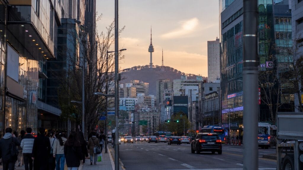
Central Seoul combines shopping, traditional markets, historic buildings, and one of the city’s most recognizable viewpoints.
The main stations are:
- Myeongdong Station
- Hoehyeon Station
- City Hall Station
- Euljiro 1-ga Station
- Seoul Station
Myeongdong
Myeongdong is one of Seoul’s most convenient areas for skincare shopping, fashion, street food, currency exchange, and casual dining.
The main shopping district lies between Myeongdong Station and Euljiro 1-ga Station. Either station can work, depending on which end of the neighborhood you plan to visit.
The area is usually livelier in the afternoon and evening. Many stores open later than visitors expect, so early morning is better for empty street photographs than actual shopping.
Use our Myeongdong Guide to find the main shopping streets, food areas, and easiest transport routes.
Namdaemun Market
Namdaemun Market is west of Myeongdong and closest to Hoehyeon Station.
It is a large traditional market selling clothing, kitchenware, accessories, snacks, souvenirs, children’s products, and almost everything in between.
Sungnyemun Gate is nearby, and Seoul Station can be reached on foot. Myeongdong and Namdaemun fit comfortably into the same half-day plan.
Our Namdaemun Market Guide explains the different market sections and the best times to visit.
N Seoul Tower
N Seoul Tower appears very close to Myeongdong on most maps. Reaching it still requires a bus, cable car, or uphill walk through Namsan Park.
Sunset is the most popular time to visit, but the view depends heavily on the weather. Paying for a panoramic observatory while the city disappears behind clouds is an expensive way to study fog.
See our N Seoul Tower Guide for the cable car route, bus options, walking paths, and observatory details.
Zone 3: Dongdaemun, Gwangjang Market, and Euljiro
This part of central Seoul combines market food, fashion, design, old workshops, and evening nightlife.
The most useful stations are Dongdaemun History & Culture Park, Dongdaemun Station, Jongno 5-ga, Euljiro 3-ga, and Euljiro 4-ga.
Dongdaemun Design Plaza
Dongdaemun Design Plaza, usually called DDP, is the visual center of the district.
Its curved architecture, exhibitions, design shops, and nighttime lighting make it worth visiting even when there is no major event.
The surrounding streets contain fashion malls, wholesale markets, historic gates, and late-night restaurants. Opening hours vary widely, especially among wholesale businesses, so check the specific mall before visiting.
Our Dongdaemun Guide covers the main shopping buildings, transport, and what remains open late.
Gwangjang Market and Euljiro
Gwangjang Market is known for mung bean pancakes, small gimbap rolls, knife-cut noodles, dumplings, and raw beef dishes.
It becomes crowded during lunch, dinner, and weekends. Visiting slightly outside peak hours makes it easier to find a seat and look around.
From the market, you can walk along Cheonggyecheon Stream toward Euljiro or continue east to DDP.
Euljiro mixes long-running printing and metal workshops with newer bars, cafes, and restaurants. The area is more interesting in the late afternoon and evening than early in the morning.
A practical route is:
Gwangjang Market → Cheonggyecheon → Euljiro → DDP
Zone 4: Hongdae, Yeonnam-dong, and Mangwon
Western Seoul has a younger and more casual atmosphere than the palace district.
Hongik University Station is the main transport hub, with connections to Line 2, AREX, and the Gyeongui-Jungang Line. Hapjeong and Mangwon stations are also useful.
Hongdae and Yeonnam-dong
Hongdae is not one street. The wider entertainment district stretches between Hongik University Station, Sangsu, and Hapjeong.
Different parts of the neighborhood offer:
- Shopping
- Restaurants
- Live performances
- Clubs and bars
- Photo booths
- Cafes
- Street fashion
Yeonnam-dong begins north of Hongik University Station and follows the Gyeongui Line Forest Park. It is generally calmer than the busiest Hongdae streets and works well for brunch, coffee, and small independent shops.
Our Hongdae Guide breaks the area into sections so you can choose the correct side of the station before arriving.
Mangwon
Mangwon is one subway stop from Hapjeong on Line 6.
The neighborhood is known for Mangwon Market, local restaurants, cafes, and access to Mangwon Hangang Park.
A relaxed plan is to visit Mangwon Market for lunch, walk toward the river, and return to Hongdae for the evening. For picnic areas, riverside transport, and seasonal advice, read our Han River Guide.
Zone 5: Itaewon, Hannam-dong, and Yongsan
Yongsan includes international dining streets, museums, hillside neighborhoods, galleries, and nightlife.
These attractions belong to the same district, but they are not all within easy walking distance.
Itaewon and Haebangchon
Itaewon Station is the easiest access point for the main Itaewon street, restaurants, bars, and shops.
Haebangchon and Gyeongnidan-gil are nearby, but the route includes slopes and large roads. Short bus or taxi rides can be useful during hot weather or after a long day of walking.
Hannam-dong
Hannam-dong, around Hangangjin Station, has galleries, designer shops, cafes, restaurants, and the Leeum Museum of Art.
It suits a slower afternoon rather than a rushed checklist of attractions.
Museums in Yongsan
The National Museum of Korea is near Ichon Station and contains major collections covering Korean history, archaeology, and art.
The War Memorial of Korea is near Samgakji Station. The museums are in the same district, but they are separate destinations and should not be treated as neighboring buildings.
Zone 6: Seongsu-dong and Seoul Forest
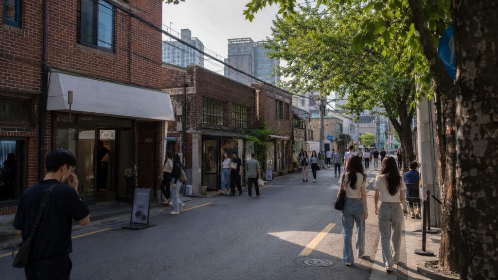
Seongsu has become one of Seoul’s most popular areas for warehouse cafes, fashion shops, beauty launches, temporary exhibitions, and brand pop-ups.
The main mistake visitors make is choosing a station without checking the exact location of their destination.
Which Seongsu station should you use?
Use Seongsu Station for many warehouse cafes, shops, and pop-up spaces in the eastern part of the neighborhood.
Ttukseom Station is convenient for the western cafe area.
Seoul Forest Station is the best choice for Seoul Forest and the nearby dining and shopping streets.
The stations are connected on foot, but Seongsu is large enough that the wrong starting point can add 20 or 30 minutes of unnecessary walking.
A practical half-day route is:
Seongsu Station → cafes and pop-ups → Ttukseom area → Seoul Forest
Pop-up stores change frequently and may require reservations. Check the dates before crossing the city for an event that ended earlier in the week.
Our Seongsu-dong Guide includes a neighborhood breakdown and more realistic walking routes.
Zone 7: Gangnam, Apgujeong, and COEX
Gangnam can refer to the large district south of the Han River or the smaller commercial area around Gangnam Station.
That distinction causes plenty of confusion for first-time visitors.
Gangnam Station
Gangnam Station is surrounded by offices, restaurants, nightlife, cosmetic clinics, shops, and the underground shopping center.
The underground mall is useful for affordable clothing and accessories, particularly during rainy or very hot weather.
Apgujeong and Sinsa
Apgujeong Rodeo, Dosan Park, Sinsa, and Garosu-gil form a broad fashion, beauty, cafe, and dining zone.
They are not one compact street. Choose one or two specific places before arriving rather than trying to walk across the entire area.
COEX and Bongeunsa
COEX Mall and Starfield Library are connected to Samseong Station. Bongeunsa Temple is across the main road and closer to Bongeunsa Station on Line 9.
The modern mall and traditional temple fit naturally into the same half-day route.
Our Starfield Library Guide explains which station exits and mall entrances are easiest to use.
Gangnam Station and COEX are both in Gangnam, but they are several subway stops apart. Check the exact neighborhood instead of relying on the district name.
Zone 8: Jamsil and Olympic Park
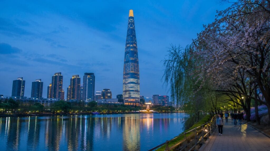
Jamsil is a convenient area for families, theme park visitors, shopping, skyline views, and seasonal walks.
Jamsil Station connects directly to the Lotte complex, while Olympic Park is farther east on Lines 5 and 9.
Lotte World and Lotte World Tower
Lotte World, Lotte World Mall, Lotte World Tower, and the aquarium are all connected to Jamsil Station.
The amusement park can fill a complete day, especially during weekends and school holidays. Visitors who are not interested in rides can explore the mall, aquarium, observatory, and nearby lake.
Read our Lotte World Guide before choosing tickets and deciding how early to arrive.
Seokchon Lake and Songnidan-gil
Seokchon Lake surrounds part of the Lotte complex and is especially popular during cherry blossom season.
Songnidan-gil, east of the lake, contains cafes, restaurants, and smaller shops. It makes an easy addition after a walk around the lake.
Olympic Park
Olympic Park is a large green space with walking routes, museums, sculptures, concert venues, and historic sites from the Baekje period.
Check which gate is closest to your destination. Arriving at the wrong side of the park can add a surprisingly long walk.
Seoul Subway Fares in 2026
The standard adult subway fare is KRW 1,550 with a transportation card and KRW 1,650 with a single-journey ticket.
Longer journeys may include additional distance-based charges.
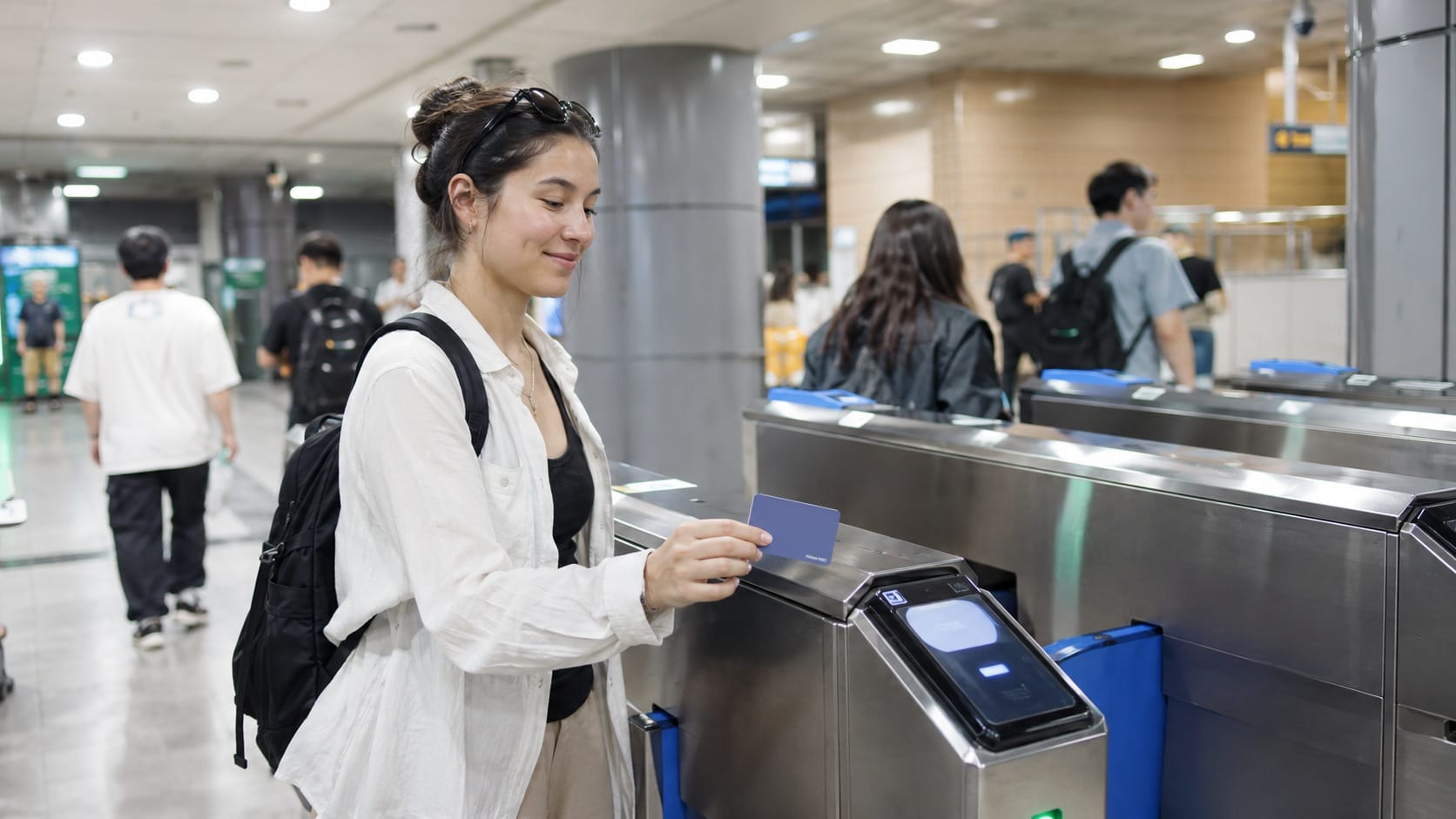
Single-journey tickets require a refundable deposit and are less convenient than a rechargeable transportation card. A T-money card can be used on both subways and buses and allows discounted transfers when the transfer rules are followed.
Tap your card when entering and leaving the subway. On buses, tap when boarding and again before getting off.
Travelers using public transportation frequently may also want to compare T-money with the short-term Seoul Climate Card. The better option depends on the length of the trip, the number of daily journeys, and whether all routes fall within the card’s coverage area.
How to Plan a Seoul Itinerary with the Map
The best approach is to choose one main zone and add a nearby second zone only when the route is simple.
Here are several combinations that work well:
Traditional Seoul day
Gyeongbokgung → Bukchon → Insadong → Ikseon-dong
Central shopping and views
Namdaemun → Myeongdong → N Seoul Tower
Market and design day
Gwangjang Market → Euljiro → Dongdaemun Design Plaza
Western Seoul day
Mangwon Market → Han River → Hongdae
Eastern Seoul day
Seongsu → Seoul Forest → Jamsil
Gangnam day
Apgujeong or Sinsa → COEX → Bongeunsa Temple
Crossing the Han River once during a day is reasonable. Crossing it repeatedly because attractions were added in the order they appeared on social media usually wastes time.
For complete day-by-day routes, use our Seoul 3-Day Itinerary or Seoul 5-Day Itinerary.
Common Seoul Map Mistakes
1. Assuming every nearby place is walkable
Maps hide hills, railway lines, palace walls, large intersections, and underground passages.
Check the actual walking route, not only the straight-line distance.
2. Ignoring subway exit numbers
Large stations may have more than ten exits.
Leaving through the wrong one can place a major road, department store, or several blocks between you and the attraction.
3. Searching only for a district name
Gangnam, Yongsan, Jongno, and Mapo are large administrative areas.
Search for the exact attraction, street, restaurant, or subway station.
4. Planning too many north-south journeys
The subway makes crossing the Han River easy, but repeated crossings consume time.
Group attractions on the same side of the river whenever possible.
5. Forgetting about hills
Bukchon, Namsan, Itaewon, and Haebangchon all include slopes.
A short route on a map may feel much longer during summer humidity or while carrying shopping bags.
6. Relying on a PDF map for live navigation
A paper or PDF map is useful for orientation but cannot show real-time arrivals, temporary closures, or updated walking routes.
Keep a local navigation app available.
7. Underestimating transfer stations
Seoul Station, Jongno 3-ga, Express Bus Terminal, and Dongdaemun History & Culture Park can require long walks between lines.
The train journey may take 20 minutes while the transfer quietly asks for another ten.
Frequently Asked Questions
What is the best map app for Seoul?
Naver Map is the most practical choice for many international visitors because it provides detailed public transportation routes, walking directions, subway exits, and local business information.
KakaoMap is a useful alternative, while the official Seoul tourist map is best for understanding the overall city layout.
Can I use Google Maps in Seoul?
Yes. Google Maps is useful for saving attractions, reading reviews, and viewing general locations.
For detailed walking routes, subway exits, and smaller local businesses, Naver Map or KakaoMap is still more dependable.
Where can I download an English Seoul tourist map?
The Seoul Metropolitan Government and the official Visit Seoul website provide downloadable English tourist maps and travel guidebooks.
Save the PDF on your phone before your trip so it remains available without mobile data.
Which subway line is best for sightseeing?
Line 2 connects the largest number of popular areas, including Hongdae, City Hall, Dongdaemun, Seongsu, Jamsil, COEX, and Gangnam.
Lines 3, 4, and 5 are more useful for palaces and central Seoul.
Is Seoul easy to explore by subway?
Yes. Major stations have English signs, lines are color-coded, and most major attractions can be reached by subway.
The more difficult part is often choosing the correct exit and estimating the remaining walking time.
Which neighborhood is best for first-time visitors?
Myeongdong, Hongdae, and Jongno are common choices.
Myeongdong is central and convenient for shopping. Hongdae has nightlife and a direct airport railroad connection. Jongno provides easy access to palaces and traditional neighborhoods.
Compare the advantages and disadvantages in our Best Areas to Stay in Seoul Guide.
Can I use a Seoul tourist map offline?
Yes. Download the official PDF and save screenshots of important routes.
Live subway arrivals and updated navigation still require an internet connection.
How long does it take to travel across Seoul?
Journeys between popular districts often take 30 to 60 minutes after walking, waiting, and transfers are included.
Always check the complete door-to-door route rather than looking only at the time spent on the train.
Official Sources and Last Check
Use this article to understand the shape of the city, then use a live map for the final turn. Seoul is too large—and its stations have too many exits—for a static screenshot to win every navigation argument.
- 2026 Seoul Tourist Map — official downloadable city and visitor map from Seoul Metropolitan Government
- Seoul Subway Tour — official subway map and routes to major visitor areas
- VISITKOREA interactive map — live attraction, accommodation, shopping and transport lookup
Last checked: September 9, 2026. Station exits, construction detours and attraction access details should be checked again in a live map.
Final Thoughts
Seoul becomes much easier to navigate once you stop seeing it as one enormous city.
Historic Seoul, Myeongdong, Dongdaemun, Hongdae, Yongsan, Seongsu, Gangnam, and Jamsil each have their own transport hubs and natural sightseeing routes.
Plan around one or two connected areas each day, check the subway exit before arriving, and keep a local map app ready.
You do not need to memorize every colored line on the subway map. Learn where the Han River is, identify the neighborhood you are visiting, and let the transport system handle the rest.
Seoul is large, but it is not trying to defeat you. It just occasionally hides the correct exit behind twelve other ones.